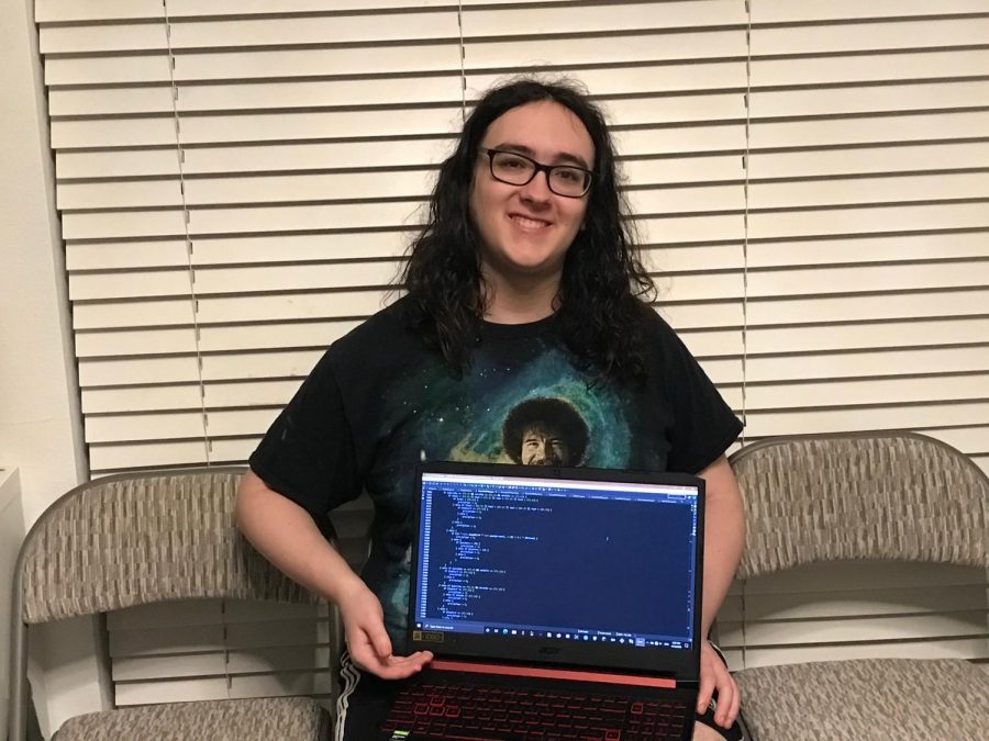
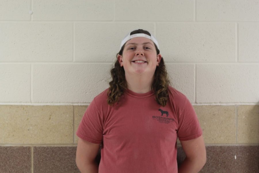
Junior Zander Urquhart has been programming weather maps for more than a year. Currently, Zander is using more than 100 weather maps over five areas including the Continental US, Continental Canada, Alaska, the Canadian Arctic Islands and the Tropical Atlantic.
“It’s a lot of work, probably at least 15 hours a week,” Zander said. “A lot of what I do is researching the physics of meteorology. From the microphysics about how raindrops in the air work, also fluid dynamics, which determines how the air in the atmosphere works. It’s mostly a lot of research although there is a lot of coding involved.”
Zander became interested in meteorology in preschool. However, it wasn’t until March 2019 that he decided to use neural networks to try and visualize the weather.
“He gave a mock weather forecast for a talent show when he was in kindergarten,” Zander’s dad Andrew Urquhart said. “His interest in weather faded for a little while when he began to learn computer programming, but now his interest in weather has returned and combined with his interest in computer programming.”
Zander then started programming his weather maps, looking at data from the American and Canadian weather agencies. Zander has been coding for five years and learned JavaScript, a type of coding language, in the last two years.
“It took me about three months to code my first weather map, then it took me eight more months to make it into an admittedly subpar weather predictor,” Zander said. “It didn’t do a very good job, but I’m still proud of it.”
Zander started out with only a few programs, and has since made maps that show everything from the temperatures at different elevations to atmospheric pressure, and the dew point.
“I’ve come very, very far,” Zander said. “At first I was generating four separate maps. Just the relative humidity, pressure, temperature and wind speed on the surface. Honestly I was using pretty bad color scales for all of them, so I’ve also learned quite a bit about color coding data to make it readable.”
While he has been programming his weather maps, he has also shared his findings with his friends and family along with computer science teacher, Pam Ford.
“I think what he is doing, developing a working model that displays what he has learned, will help him get his foot in the door of some major universities, and hopefully, get the attention of recruiters for internships and future jobs,” Ford said.
Zander runs his weather maps through a discord server. The programs update themselves every hour; however, this server is not open to the public.
“This is just something I really like to do,” Zander said. “I’m really hoping I’ll be able to continue this research at the University of Oklahoma. I want to participate in all the severe weather research they do over there.”


