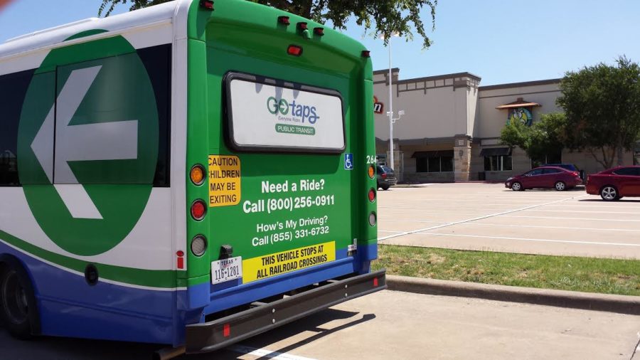
Go TAPS provides local transportation
GoTAPS will provide local transportation to the Allen area.
March 26, 2015
As a way to add on to its transportation service, Go TAPS has added a Google Maps feature to its pickup service for customers.
“TAPS Public Transit now participates in providing schedule and route data to Google Maps, allowing riders to plan a trip online at TAPS’s website,” the TAPS website says. “By entering originating and destination information, Google Maps provides written directions and maps to hubs, transfer points, park and ride lots, and bus stops. Basic information is entered by the rider and Google Maps displays all available public transit options.”
This new system allows consumers to directly plan a trip with the service using information on Google Maps.
With no other form of public transportation in the area, GO TAPS provides an option for local residents.
“The City of Allen is excited to participate in public transportation for the betterment of the region and will continue to evaluate ridership and benefits during this initial three-year period,” states the city of Allen on its website. “The TAPS Allen/JARC bus routes are designed to enable workers to commute opposite of the peak flow of traffic during the morning and evening hours. For instance, while most commuters are heading South into Dallas each morning, the Allen/JARC route brings workers North from Dallas to Allen.”


